
A flood watch has been issued for all of Western Pennsylvania as high heat and humidity continues Friday.Additionally, the National Weather Service has issued a flash flood warning in Washington County until 9 p.m. and Allegheny County until 10:30 p.m.The steamy conditions will spark up an isolated thunderstorm threat into the early evening.Severe weather alerts: See current alerts for your county, and sign up to get free alertsInteractive radar: Track storms moving through your areaLearn how to enable automatic weather alerts on the WTAE appFlood Watch across all of Western PA All counties in Western Pennsylvania will be under a Flood Watch until 12 a.m. on Saturday. Excessive runoff may result in flooding of rivers, creeks, streams, and other low-lying and flood-prone locations. Flooding may occur in poor drainage and urban areas.Heat Advisory for Western PA through Friday The entire Pittsburgh area is now under a heat advisory until 8 p.m. Hot and humid weather will add to concerns for heat stress and heat-related illnesses. Heat indices will rise into upper 90s, especially in valley and urban areas. As a reminder, limit strenuous activities in the direct sun, stay hydrated, take breaks in the air conditioning, walk the dog earlier or later in the day, and check on neighbors.Daily storm chances continueIn true summer fashion, the heat and humidity will lead to isolated thunderstorm chances. The coverage should be isolated to widely scattered and primarily confined to the afternoon and early parts of the evening. Heavy rain that could lead to flash flooding is the top threat. Gusty winds are also possible. Looking ahead to the weekend and beyondSaturday remains an impact day with the chance for a few isolated storms, but the cold front is expected to pass around lunchtime on Saturday which means we could have a drier evening. Still with any thunderstorm that develops, it is capable of producing heavy rain, gusty winds, and small hail. Sunday is trending dry and not quite as humid. The mid-summer feeling will lead us into the start of July next week.Another cold front next week will finally break the heat, humidity, and daily storm chance pattern. TODAY: Impact Day. Sun and clouds with a few afternoon storms. High: 90°, low: 70°.SATURDAY: Impact Day. Isolated PM storms, partly cloudy. High 85°.SUNDAY: Patchy AM Fog, not as humid, hot, mostly sunny. High 88°.
A flood watch has been issued for all of Western Pennsylvania as high heat and humidity continues Friday.
Additionally, the National Weather Service has issued a flash flood warning in Washington County until 9 p.m. and Allegheny County until 10:30 p.m.
The steamy conditions will spark up an isolated thunderstorm threat into the early evening.
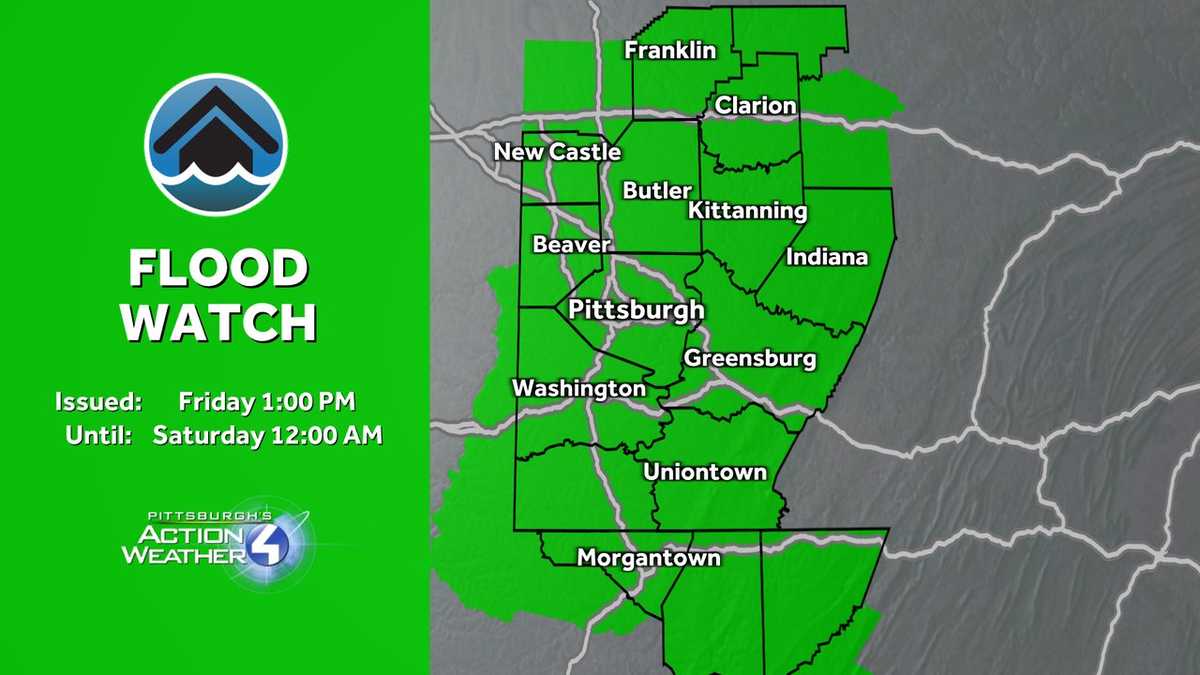
Flood Watch across all of Western PA
All counties in Western Pennsylvania will be under a Flood Watch until 12 a.m. on Saturday.
Excessive runoff may result in flooding of rivers, creeks, streams, and other low-lying and flood-prone locations. Flooding may occur in poor drainage and urban areas.

Heat Advisory for Western PA through Friday
The entire Pittsburgh area is now under a heat advisory until 8 p.m. Hot and humid weather will add to concerns for heat stress and heat-related illnesses.
Heat indices will rise into upper 90s, especially in valley and urban areas. As a reminder, limit strenuous activities in the direct sun, stay hydrated, take breaks in the air conditioning, walk the dog earlier or later in the day, and check on neighbors.

Daily storm chances continue
In true summer fashion, the heat and humidity will lead to isolated thunderstorm chances. The coverage should be isolated to widely scattered and primarily confined to the afternoon and early parts of the evening. Heavy rain that could lead to flash flooding is the top threat. Gusty winds are also possible.

Looking ahead to the weekend and beyond
Saturday remains an impact day with the chance for a few isolated storms, but the cold front is expected to pass around lunchtime on Saturday which means we could have a drier evening. Still with any thunderstorm that develops, it is capable of producing heavy rain, gusty winds, and small hail. Sunday is trending dry and not quite as humid. The mid-summer feeling will lead us into the start of July next week.
Another cold front next week will finally break the heat, humidity, and daily storm chance pattern.

TODAY: Impact Day. Sun and clouds with a few afternoon storms. High: 90°, low: 70°.
SATURDAY: Impact Day. Isolated PM storms, partly cloudy. High 85°.
SUNDAY: Patchy AM Fog, not as humid, hot, mostly sunny. High 88°.
Leave a Reply