
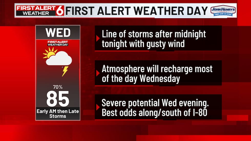
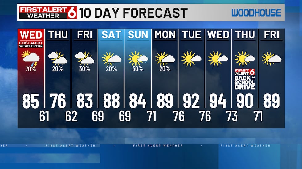
OMAHA, Neb. (WOWT) – Wednesday is a First Alert 6 Weather Day with two rounds of storms possible.
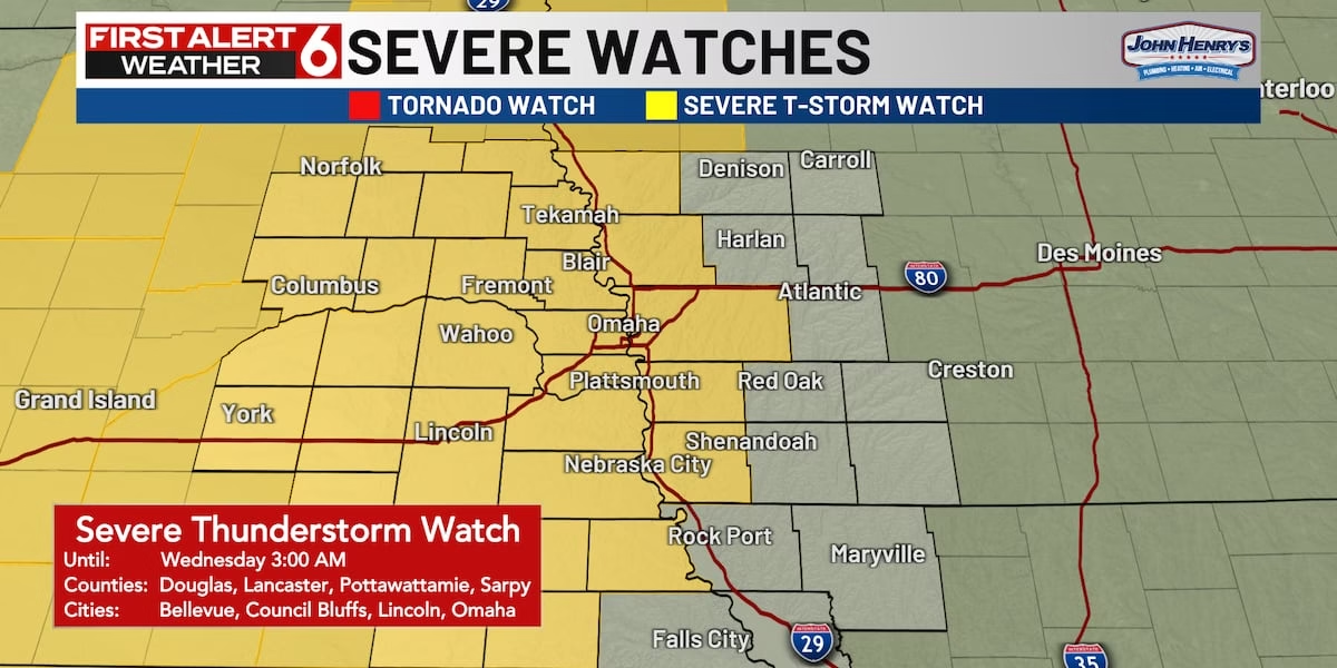
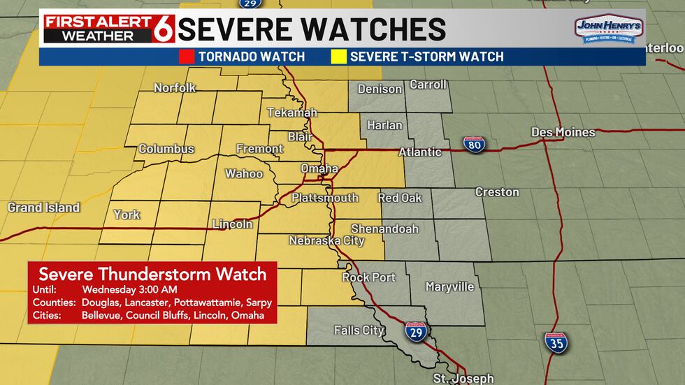
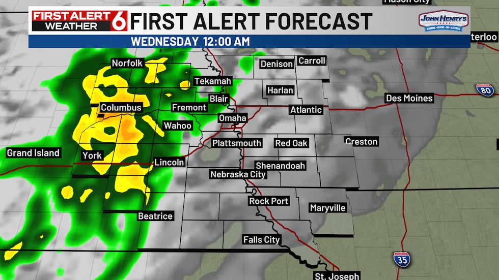
The first line of storms is moving into the NW corner of the viewing area as of 8:45PM and a Severe T-Storm Watch has been issued that will run until 3AM. That watch includes most of E Nebraska and a few counties just E of the Missouri River in W Iowa.
This round of storms likely arrives around 10PM to the NW corner of the viewing area. A 2/5 risk extends into the Metro mainly for strong gusts of over 60mph.
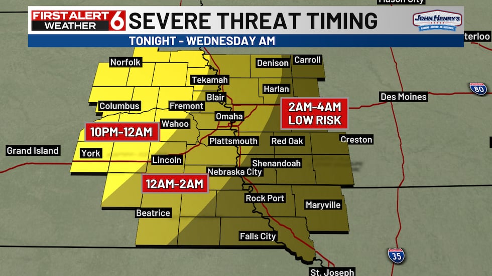
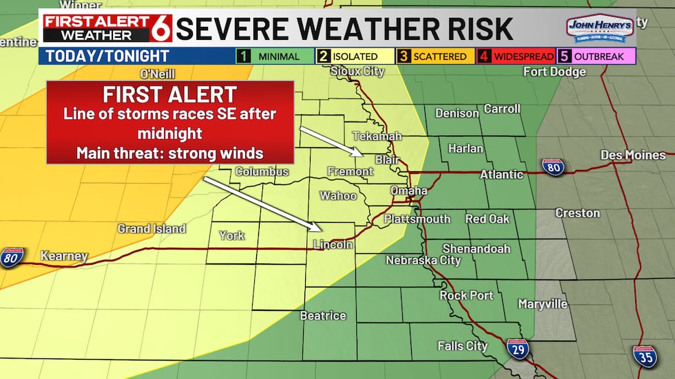
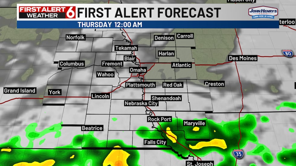
Severe storms are likely out of the Metro by 2AM and losing steam in W Iowa. A few weaker t-showers may persist afterwards.
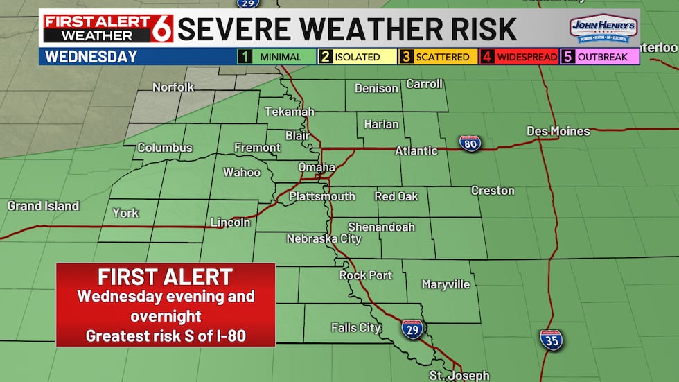
During the afternoon clearing mainly S of I-80 refuels the atmosphere for a second round of storms. The best chance for these keeps S of I-80 and brings a wind and hail risk.
We will update this page as more details become available. You can also stay up to date with the First Alert 6 Forecast.
Thursday and Friday bring some heat relief with storms back in the area Friday night! Heat returns after that with on and off storm chances into the start of next week.
Copyright 2025 WOWT. All rights reserved.
Leave a Reply