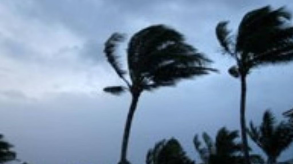
North Kohala and portions of South Kohala, North Kona, Hāmākua, Kaʻū and Puna can expect east winds of 20 to 30 mph with gusts up to 50 mph through today as a wind advisory is in effect until 6 p.m. Monday (July 7).

National Weather Service forecasters in Honolulu remind the public that winds this strong can tear off shingles, knock down tree branches, blow away tents and awnings plus make it difficult to steer, especially for drivers of high-profile vehicles.
Watch out for falling tree branches, make sure tents and awnings are secure or taken down and be prepared for power outages.
Hawai‘i County Civil Defense urges those in the wind advisory locations to take necessary precautions; drive with caution and be aware of debris, downed trees and utility lines; and stay clear of downed utility lines as well as report all hazards to authorities.
A strong high pressure ridge north of the islands will build in over the islands today, increasing trade wind speeds for windier areas of Maui and Hawai‘i counties, resulting in the wind advisory.
That strong ridge will produce stable and breezy to windy trade wind weather through Monday, with wind speeds decreasing slightly into moderate to breezy range Tuesday.
The National Weather Service area forecast discussion from shortly before 4 a.m. today said fairly dry conditions with lower humidity levels coupled with those stronger winds also could produce elevated fire weather conditions over leeward areas late this morning into the afternoon.
Breezy, gusty and rather dry conditions will likely continue for the next few days. Minimum relative humidity at lower leeward elevations also are forecast to fall at or below 45% each afternoon.
Temperature inversion heights will drop as low as 5,000 feet, resulting in near critical fire weather conditions over dry leeward areas at times.
However, no watches or warnings are likely since the Keetch Byram Drought Index — which assesses the risk of fire based on moisture deficiency on a scale of 0 to 800, with 0 being no moisture deficiency and 800 the maximum drought possible — will remain below the 600 threshold at Honolulu.


Leave a Reply